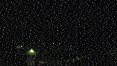
Trail › ตะวันตกเฉียงเหนือ: Highway 3B about 15 km north of Rossland and 4 km south of summit, looking north
![]() Trail, ประเทศแคนาดา
Trail, ประเทศแคนาดา
Welcome to the live streaming webcam for Trail › ตะวันตกเฉียงเหนือ: Highway 3B about 15 km north of Rossland and 4 km south of summit, looking north, perfectly situated in the vibrant region of Trail, ประเทศแคนาดา. Watching this live camera allows you to instantly experience the local atmosphere and monitor current climate conditions.

About Trail
A trail, also known as a path or track, is an unpaved lane or a small paved road generally not intended for usage by motorized vehicles, usually passing through a natural area. However, it is sometimes applied to highways in North America. In the United Kingdom and Ireland, a path or footpath is the preferred term for a pedestrian or hiking trail. In the US, the term was historically used for a route into or through wild territory used by explorers and migrants. In the United States, "trace" is a synonym for trail, as in Natchez Trace.
📖 Read more on Wikipedia📍 Location Facts
-
Country
 ประเทศแคนาดา
- Region รัฐบริติชโคลัมเบีย
- City Trail
- Coordinates 49.1764°N, -117.8611°E