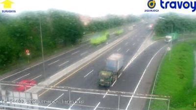
Menggala: Bakauheni - Kayu Agung Road - Terbanggi Besar - Kayu Agung Toll Road
![]() Menggala, ประเทศอินโดนีเซีย
Menggala, ประเทศอินโดนีเซีย
Real-Time Environment
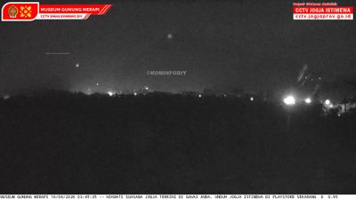
Welcome to the live streaming webcam for Menggala: Bakauheni - Kayu Agung Road - Terbanggi Besar - Kayu Agung Toll Road, perfectly situated in the vibrant region of Menggala, ประเทศอินโดนีเซีย. Watching this live camera allows you to instantly experience the local atmosphere and monitor current climate conditions.

About Menggala
Menggala is a subdistrict and a town in Tulang Bawang Regency, at the southeastern portion of Sumatra. It is the seat of the regency, with a population of about 51,574 in mid 2022. Menggala administratively covers an area of 344 square kilometers. The town's current administrative situation, as a kecamatan or a district of the Lampung province, was established in 1946. It is about 100 km away from the city of Bandar Lampung.
📖 Read more on Wikipedia📍 Location Facts
-
Country
 ประเทศอินโดนีเซีย
- Region Tulang Bawang
- City Menggala
- Coordinates -4.5653°N, 105.1773°E
Have you been to Menggala?
Help the community! Share your experience, tell us about the weather, or upload your own photos from this exact location.